⚠️ Disclaimer This article is for educational purposes only. It does not encourage disabling legitimate security features or misusing location data. All recommendations comply with international cybersecurity laws and ethical standards.
🧠 Introduction: Your Phone Remembers More Than You Do You didn’t tell anyone you visited that clinic last Thursday.
You didn’t post your gym session, or your kid’s school pickup.
But your phone did. Quietly, automatically — and with near-perfect accuracy.
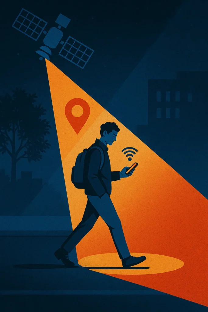
We live in a world where every casual tap on a weather app, every route home, every idle scroll through restaurant reviews becomes a geolocation event. What began as a helpful way to “find the fastest route” has evolved into something more: a global infrastructure of movement, surveillance, and behavioral modeling.
And the most unnerving part?
You probably agreed to it — not with a signature, but with a swipe.
In this article, we’ll look at how location services work, who profits from them, and why your next step might already be recorded before you take it.
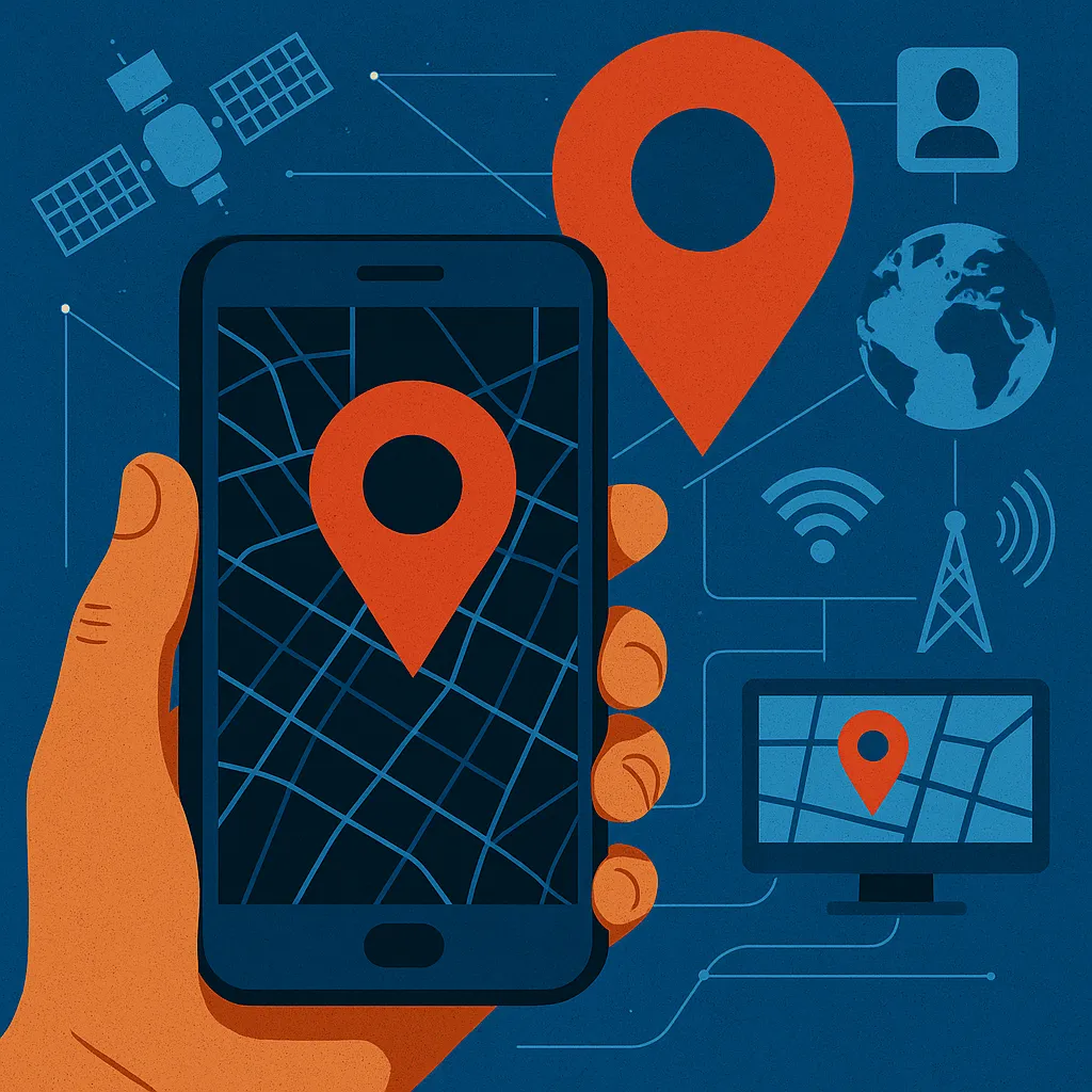
🛰️ What Are Location Services? Location services are software and hardware features in your devices that determine your real-world position using a combination of:
| Technology | Description |
|---|---|
| GPS | Satellite-based navigation with global coverage (accuracy: ~5–10 meters). |
| Wi-Fi Positioning | Uses nearby Wi-Fi routers and databases to estimate indoor location. |
| Cell Tower Triangulation | Uses signal strength and distance from cellular towers. |
| Bluetooth Beacons | Detect proximity via short-range Bluetooth signals. |
| IP Address Geo-Mapping | Estimates location based on your ISP node (city-level accuracy). |
Your device merges these signals, often in real time, to deliver everything from turn-by-turn directions to location-based ads.
🔍 Who Uses Your Location — and Why? It’s not just maps or ride-sharing apps that rely on your coordinates. Here’s who else has a stake in where you go:
| Actor | Purpose |
| Tech companies | Improve services, target ads, feed AI models. |
| Retail apps | Track store visits, trigger push notifications. |
| Governments | Law enforcement, urban planning, emergency alerts. |
| Data brokers | Package and sell anonymized movement profiles. |
| Hackers | Stalking, scams, and social engineering. |
🗂️ Case Study: The Strava Heatmap Controversy In 2018, fitness app Strava released a global heatmap of aggregated workout routes. It looked harmless until analysts realized the map exposed secret military bases, patrol routes, and personnel activity in conflict zones.
The dataset was anonymized. But patterns speak louder than names.
⚠️ Lesson: Even when you’re one dot in a billion, you’re never truly invisible.
🗺️ How Precise Is It, Really? Location accuracy depends on the tech in play:
- GPS outdoors: 3–5 meters
- Bluetooth indoors: 1–2 meters
- Ultra-Wideband (UWB): less than 1 meter
Apple’s AirTags use UWB to guide users with arrow-level precision. In dense retail environments, this level of tracking is already being used to analyze shopper movement with frightening granularity.
📦 Where Your Data Lives Your location trail isn’t ephemeral. It’s archived in:
- Your device (locally, short-term)
- The cloud (Google, Apple, Microsoft)
- App developers’ servers
- Third-party analytics and advertising SDKs
Some apps collect data continuously, even when you’re not using them, using background location permissions or geofencing triggers.
📊 Why You Should Care Your location can reveal:
- Where you sleep → your home
- Where you go at night → your habits
- Where you visit → your political or medical affiliations
- Where your kids go → your exposure risk
These aren’t just data points. They’re fragments of your identity.
🛡️ How to Reclaim Your Map
🔧 Do This Now:
- Audit app permissions (Settings → Privacy → Location Services)
- Set apps to “While Using” instead of “Always”
- Turn off Google/Apple Location History
- Disable background location access
- Delete location timelines regularly
- Explore privacy-first mobile OSes (e.g., GrapheneOS)
🔐 Extra Steps:
- Use a VPN to obscure IP-based geolocation
- Use mock location tools (on Android)
- Avoid apps from unknown developers
🧬 The Future: UWB, AI, and Predictive Movement Tomorrow’s tracking will be more than just “where you are.” With tools like geospatial AI and Ultra-Wideband triangulation, systems can infer:
- Where you’re going
- What you’re near
- What you might do next
Imagine: your phone vibrates in a store aisle before you even look at the product.
That’s not science fiction. That’s marketing in 2025.
📚 Glossary
- Geofencing: Triggering an app action when a device enters/exits a virtual boundary.
- Location History: Chronological log of past locations stored by OS accounts.
- SDK: Software tools embedded in apps, often including tracking frameworks.
- Background Location: Location access granted to an app even when not actively in use.
❓ FAQ
Q: Does turning off GPS stop tracking?
A: No. Wi-Fi, Bluetooth, and cellular networks can still triangulate your position.
Q: Is Airplane Mode enough?
A: Not always. Some devices continue limited telemetry even in flight mode.
Q: Can photos leak location data?
A: Yes. Most cameras embed GPS coordinates in EXIF metadata unless you disable it.
Q: What’s the safest way to use navigation?
A: Use offline maps, revoke background access, and avoid logging in with personal accounts.
🎯 Conclusion: The Most Valuable Map Is the One You Never See Modern location services are an architectural marvel. They help rescue teams find lost hikers, let parents track their kids in real time, and deliver pizza to your doorstep with uncanny precision.
But as with any system that tracks you to within inches, they also raise a deeper question:
When do helpful tools become behavioral blueprints — and for whom?
You don’t need to throw away your smartphone or live off the grid. But you do need to ask:
- Why does this app need my location?
- Who else gets access to it?
- What does this data say about me that even I haven’t noticed?
Because in the end, the most powerful surveillance isn’t the one done by drones or satellites.
It’s the one that looks ordinary — the check-in, the commute, the weather alert — until someone else owns your pattern.
You are where your phone says you are.
And it’s up to you to decide who gets to see the map.